
Orlando ZIP Directory Coverage
The City of Orlando’s July 2024 ZIP map is the controlling local overview. It shows 21 delivery areas touching the municipal boundary. The areas below are approximate neighborhood guides read from that map, not hard claims about every address. The post-office column uses only labels supported by the research; a complete station assignment for all 21 areas was not found.
| ZIP | Areas Covered | Post Office or Base | Notes |
|---|---|---|---|
| 32789 | Orwin Manor, tiny north edge | Winter Park | Touches Orlando |
| 32801 | CBD, South Eola, Lake Cherokee, west Thornton Park | Downtown, 51 E Jefferson | City core |
| 32803 | Lake Eola Heights, Colonialtown, Milk District, Audubon | Colonialtown/Herndon alternatives | Paired base |
| 32804 | College Park, Ivanhoe, Palomar | College Park, 1705 Edgewater | North-central |
| 32805 | Callahan, Holden-Parramore, Clear Lake | Orange Blossom/Gore annex | West/central |
| 32806 | Delaney Park, Wadeview, Lake Copeland | Dixie Village | South-central |
| 32807 | Engelwood, Monterey, eastern pockets | Orlando | Partial city/county |
| 32808 | Rosemont, Mercy Drive, Signal Hill | Orlando | Northwest |
| 32809 | Airport North, south industrial edge | Orlando | Extends outside city |
| 32810 | Princeton-Silver Star, northwest pockets | Paired with 32804 base | Partial city |
| 32811 | Carver Shores, Kirkman, east MetroWest | Orlando | West |
| 32812 | Conway, Dover Shores, Bryn Mawr | Orlando | Southeast-central |
| 32814 | Baldwin Park | Paired with 32803 base | Compact planned area |
| 32819 | Florida Center, International Drive | Orlando | Partly outside city |
| 32822 | South Semoran, Ventura, Airport North | Orlando | East/southeast |
| 32824 | Boggy Creek, Southport | Orlando | South |
| 32827 | Lake Nona, Medical City | Paired with 32812 base | Southeast |
| 32829 | Vista East, Beltway Commerce | Orlando | East |
| 32831 | Sunbridge Camino, ICP | Orlando | Small far southeast portion |
| 32832 | Storey Park, Randal Park, Lake Nona | Orlando | Southeast growth area |
| 32835 | MetroWest, Kirkman North | Paired with 32811 base | West |
| 32839 | Millenia, Park Central, Holden Heights | Paired with 32809 base | Southwest |
A ZIP code directory gives orientation, not a parcel boundary opinion. Verify the single address through USPS and the parcel jurisdiction layer.
Orlando ZIP 32789 Edge
The sharpest local quirk is 32789. Most readers associate it with Winter Park, yet the official Orlando map shows a small piece touching the city around the Orwin Manor and northern edge area. A search that drops every non-328 ZIP would therefore miss a valid piece of Orlando geography. The reverse mistake is just as easy: treating all 32789 addresses as part of Orlando.
Use the ZIP as a first filter only. Check the street address in USPS for delivery and then view the parcel’s jurisdiction in city or OCPA mapping. The two checks answer different questions. Postal routing does not transfer land into a city, and a municipal border does not have to follow a delivery line.
Verify an Orlando ZIP Code
The USPS ZIP Code Lookup is the right source for present delivery information. Search by city and state to see a general list, or use the complete street address when the result will guide a record search. A city-wide result does not settle whether one house uses that code.
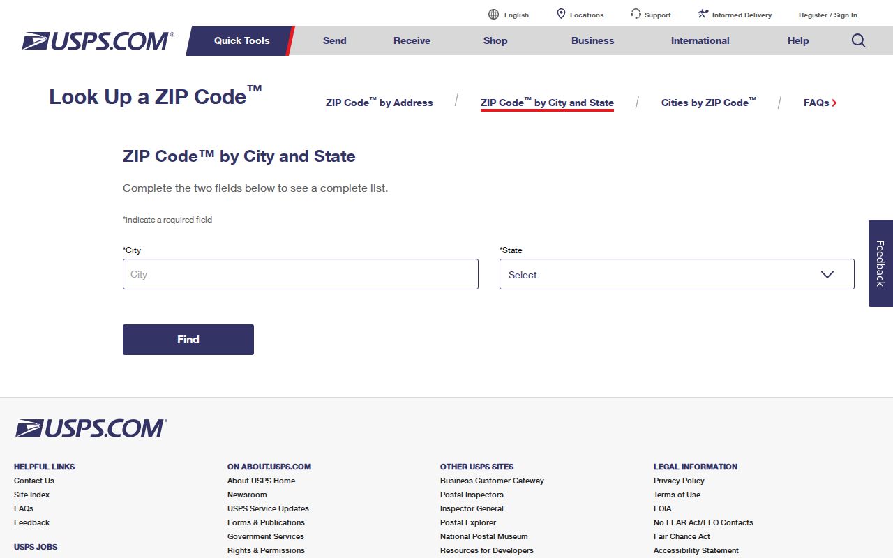
The captured lookup screen shows the official starting point for checking delivery geography before using a ZIP in another portal.
USPS station, PO-box-only, and unique-status details were not verified for every Orlando ZIP. Do not infer those labels from a number or neighborhood name. For an old letter, also consider that delivery assignments can change while the property itself stays fixed.
Find Orlando Residents by ZIP
Official sources do not offer one open roster of all residents in a ZIP. The workable Orlando ZIP code directory method combines parcel filtering, map review, and a lawful elections-record request. Each result has its own scope. OCPA returns parcels and owners. Elections data is dated registration evidence, excludes protected fields, and omits people who are not registered.
- Verify the complete address and present delivery ZIP through USPS.
- Turn on the ZIP and jurisdiction layers in OCPA WebMap.
- Filter property use by ZIP when a parcel export fits the question.
- Keep situs and owner mailing addresses in separate columns.
- For voter research, request the public file from Orange County Elections and filter the supplied residence field lawfully.
- Move to the Orlando street directory only after the ZIP has narrowed the area.
Florida’s voter status checker asks for first name, last name, and date of birth. It verifies one identity; it is not a browse-by-ZIP tool. A fuller public file request may include name, residence and mailing address, party, status, registration date, precinct, districts, and participation history. It never shows a vote choice, and protected fields are withheld.
Filter Orlando Parcels by ZIP
OCPA WebMap supplies the county’s ZIP layer and parcel context. Property-use search can add a jurisdiction or ZIP filter and export results as CSV. That makes it useful for defining an Orlando area before checking individual parcels. The map is not a survey and does not prove title or who lives at a site.
| Search or layer | What it accepts | What it adds |
|---|---|---|
| Situs search | Address autocomplete | Physical parcel location |
| Owner search | Last and first name autocomplete | Named tax-roll owner |
| Parcel ID | County parcel identifier | Exact parcel card and geometry |
| Property use | Use plus jurisdiction or ZIP | Filtered parcel group and CSV export |
| Map layers | ZIP, jurisdiction, subdivision, HOA, zoning | Visible boundary context |
Mailing ZIP and situs ZIP can differ because the owner may receive tax mail elsewhere. Preserve both fields rather than overwriting one. A homestead flag is dated owner-occupancy evidence, but it still does not list a whole household.
Orlando ZIP and City Limits
ZIP areas are delivery geographies. Orlando city limits are municipal jurisdiction. Census ZCTAs are statistical shapes that approximate ZIP areas. Those three boundaries can overlap without matching. The city basemap adds annexations, neighborhoods, post offices, streets, parcels, and municipalities, so it is the stronger tool for testing whether an address falls inside Orlando today.
- ZIP code
- A USPS routing area used to sort and deliver mail.
- ZIP+4
- The basic five-digit code plus four digits that narrow a delivery segment.
- PO-box ZIP
- A code assigned to post-office-box delivery rather than a broad street area.
- Unique ZIP
- A code assigned to one high-volume organization or institution.
- Carrier route
- A smaller delivery path within a ZIP served by a postal carrier.
That distinction controls where permits, code cases, and other local files are held. An address outside the city may still use Orlando in the mail line while its records belong to Orange County or another municipality.
College Park ZIP History
Modern ZIP geography should not be projected backward without checking the date. College Park entered expanded Orlando limits in 1923 after a Chamber petition moved the city north to Par Street. A record made before that annexation can describe the same land as outside Orlando even though its current postal address and city map place it within the city.
Use the legal description as the continuity key when jurisdiction or mailing labels shift. A legal description identifies land in a deed. A parcel ID identifies it in the county tax system. The situs address names its physical location, while the mailing address is where tax correspondence goes. The ZIP supports delivery. Keeping all four values prevents a postal change from being mistaken for a move.
Neighborhood history can add context. Lake Eola Heights, Parramore, and later growth areas developed in different eras, so the best record source changes across the map. Older searches may depend more on deeds, city directories, census schedules, permit ledgers, or Sanborn sheets than on a present ZIP.
Orlando Neighborhoods Inside ZIPs
A neighborhood and a ZIP solve different tasks. Baldwin Park appears as a compact area in 32814, while Lake Nona spans more than one southeast ZIP. MetroWest appears across western areas, and the tourist corridor in 32819 runs beyond Orlando’s city line. Use ZIP codes to narrow delivery geography, then use the city neighborhood layer for local identity and the parcel layer for an exact site.
The Orlando Neighborhood Relations resources provide the city’s community layer.
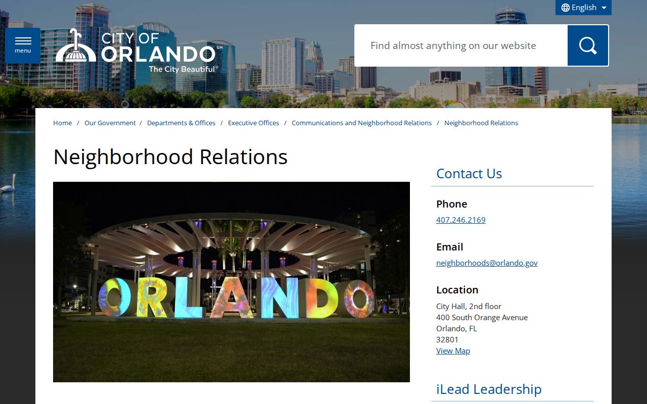
The city screen helps connect postal areas with neighborhood resources without treating either boundary as proof of residency.
Association or HOA information is voluntary or property-based context, not a complete resident list. OCPA’s map distinguishes mandatory and voluntary HOA layers when those data are present.
Orlando ZIP Property Follow-Up
Once a ZIP search identifies a parcel or owner name, the Orange County Comptroller’s Official Records index can show deeds, mortgages, liens, plats, and other recorded instruments. The recorder form is name and document driven rather than a ZIP directory. Use OCPA first, then carry the deed instrument number or book and page into Official Records. This keeps the parcel link precise.
The Comptroller’s free Property Fraud Alert can monitor a personal or business name and send a phone or email notice after a matching document is recorded.
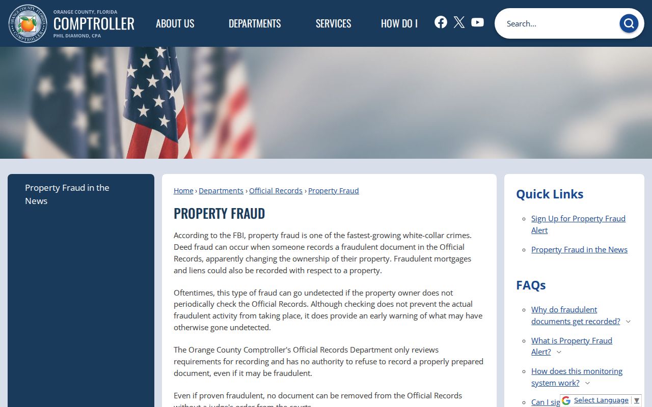
The enrollment screen shows a useful follow-up after a parcel search, but the service does not block a filing or decide whether fraud occurred.
Use any name match with care. A common name can refer to another person, and a deed shows a recorded role rather than current occupancy. Confirm the parcel, legal description, date, and party role before joining records.